Emmely & Lyons
Me ka nani aʻo Kaupō
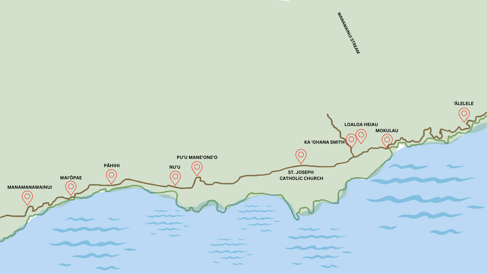
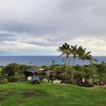
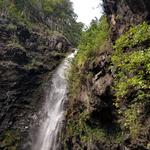
Manamanawainui
A beautiful view overlooking towards Kaupō.
Waiʻōpae
This is the borderline of Kaupō and Kahikinui.
Pāhihi
Also known as 'Wash Out', as the locals say. This is where the road would get 'washed out' on heavy rainy days. It'll get a little bumpy over here.
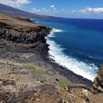
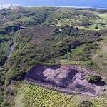
Nuʻu
There are many cultural sites that are still accessible to the public such as, ki'i pohaku (petroglyphs), ku'ula & ko'a heiau (fishing heiau), house sites and a wetland refuge.
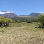
Pu'u Mane'one'o
Beautiful hillside looking over Nu'u and at Haleakalā.
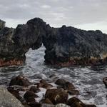
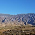
Kaupō Gap
Naholoku
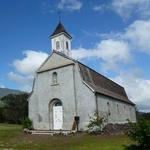
St. Joseph Catholic Church
We will be getting married here! The church was established in 1862. Mass is celebrated at 12:00 noon whenever there is a 5th Sunday of the month (2023 - Jan 29, Apr 30, July 30, Oct 29 & Dec 31)
KAUPO COMMUNITY CENTER
Ka ʻOhana Smith Property
This is Lyons family land. If you are planning to head up here, PLEASE BE ADVISED that this road is really narrow, bumpy and one-lane!
Loaloa Heiau
A Luakini Heiau Said to be built by the Menehune & Kekaulike about 1730 and rebuilt by Liholiho in 1801. This was home of Kekaulike's last residence
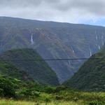
Manawainui
The river that runs in the Ahupua'a of Naholoku. When there are heavy rains, the waterfalls appear up in the mountains of Ahulili and flows all the way down to Mokulau.
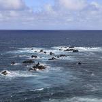
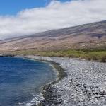
Mokulau
Overlook the coral islets, hence the name Mokulau (many islands). It is said to be the location where Kekaulike died and the succession where Kamehameha nui (Kahekili older brother) was made ruler of the land on Maui. There is Huialoha Congregational Church that was established in 1859.
ʻĀlelele
Fishing village that sits on the borderline of Kaupo and Kipahulu off of the Kalepa Ridge.