Explore Tahoe
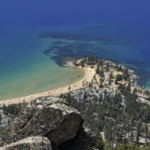
Sand Harbor Beach
Amazing location and worth the drive. Get here early as its a popular spot. Cash entry for parking.
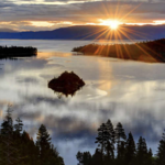
Emerald Bay State Park
Easy short walk with stellar views. Can be crowded.
Mount Tallac Trail
(9.5 mi round trip) - South Lake Tahoe The hike to the top of Mount Tallac near Emerald Bay is one of the more difficult hikes in the area, and, from the amount of photos and commentaries, also one of the most rewarding. From the top of this 9.5 mile round trip hike you can see Emerald Bay, Cascade Lake, Fallen Leaf Lake, Desolation Wilderness and the entire South Shore of Lake Tahoe. The elevation gain is 3,500 feet, so be prepared for some terrain change from forest and alpine lakes at the bottom to scree and boulders at the top. Bring plenty of water; there are not usually any sources to draw from. Directions: The Mount Tallac trailhead is located on Highway 89 between Camp Richardson and Emerald Bay. Take the Mount Tallac Road to the trailhead.
Mount Rose Trail
(10 mi round trip) - North Lake Tahoe As one of the tallest peaks in the Lake Tahoe area, Mount Rose towers over Reno and the North Shore of the lake. The trailhead is located at the highest year-round pass in the country (8,900 feet) on Highway 431 and climbs to 10,776 feet. The 10 mile round trip hike initially meanders through forest and meadows and then turns into more vertical, rocky terrain as you hit the switchbacks near the top. On a clear day at the top, you'll be able to see Reno and Sparks, Carson City, the Tahoe Basin, and the Boca and Stampede reservoirs. You may even be able to see Mount Lassen in Northern California. Directions: The Mount Rose trailhead begins at the top of the Mount Rose Summit on Highway 431. From Incline Village, drive West on Highway 28 til the 28/431 interchange and turn right onto Highway 431.
Commons Beach
Commons Beach on the West Shore near Tahoe City is not a typical beach. There is some sand but it has more nice grassy areas where you can enjoy the views and the sun. It's not great for swimming, but smaller children may like the area around the Truckee River inlet. During summer weekends, free live music and food vendors are available during the Concerts at Commons Beach. Hot Tip: Commons Beach is located very close to Tahoe City's restaurants, bars and shops.
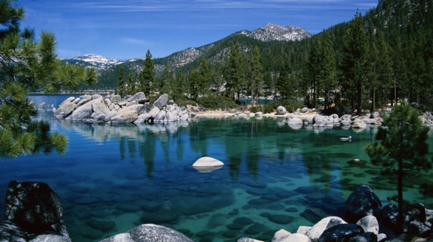
Lester Beach
Lester Beach is actually located in the D.L. Bliss State Park on the West Shore. This beautiful beach has a lagoon-like swimming area, restrooms with running water, and tons of sand and sun. To access the beach, drive to D.L. Bliss on Highway 89 and through the park and campground. Parking for the beach is at the bottom of the hill by the water, but spots are limited. Kayaks, paddle board and small craft launching is allowed here. Hot Tip: Overflow parking for the beach is available a few miles from the campground. If you have to park in overflow parking, you can unload all your gear on the beach first.
Shirley Lake Trail
This is one of Lake Tahoe's best half day hikes. Hike alongside waterfalls (seasonal; early summer only) and granite boulders and take in breathtaking views of Squaw Valley. To access the trailhead, park in the main Squaw Valley parking lot and walk to the end of Squaw Peak Road. This trail can be difficult to follow, so remember the general rule is to keep the creek on your right and follow it up for about 2.5 miles until you come to giant granite rock slabs. You will cross over this section and continue up to Shirley Lake. There are steep and rocky sections, so hiking boots are strongly recommended.
Truckee River Bike Trail
Easy Paved Bike Path around Tahoe City. Ride from Tahoe City to Squaw.